
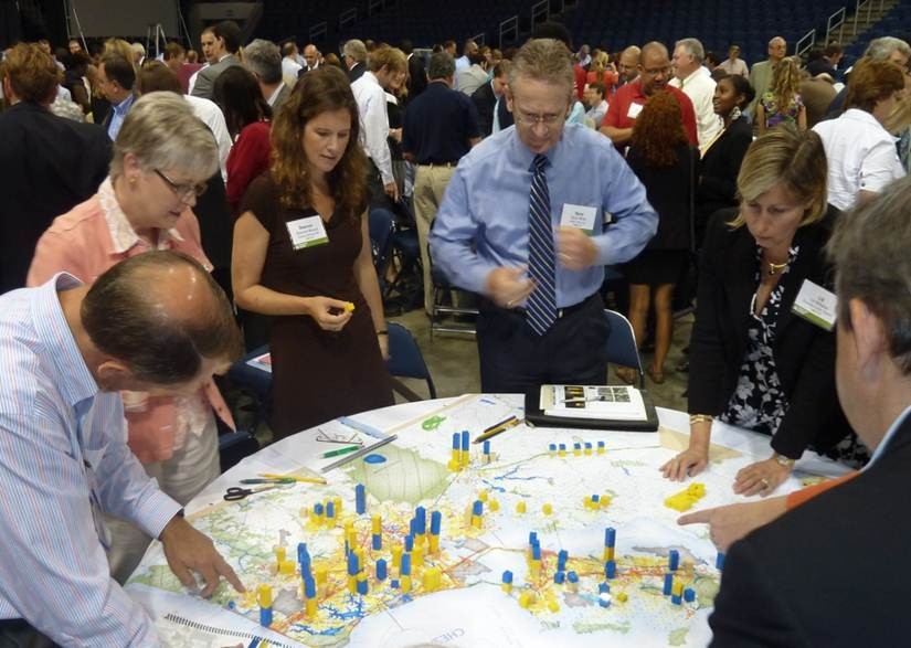
GeoSEAServices
The Geographic Information Systems (GIS) team works closely with faculty, staff, and graduate students to help them integrate GIS information and analysis into their research, projects, and course work.
Consultation services include:
- Research project collaboration, planning, and management
- Grant proposal support
- Web mapping application design and development
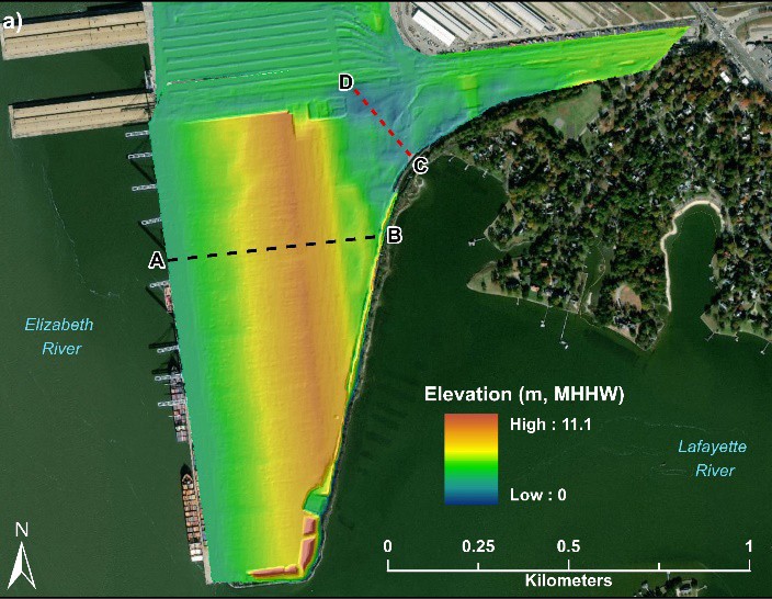
- Assistance with data acquisition, design, and conversion/development
- Geocoding and geoprocessing (analysis) of data, and training in these areas
- Map design and production
- UAV (drone) imaging, mapping, and modeling
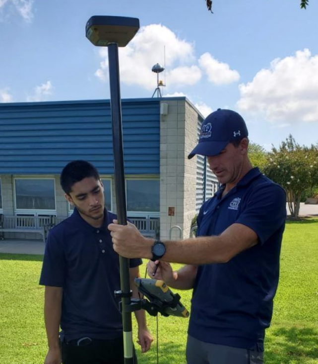
- Precision GPS mission planning and field data acquisition
- GIS software installation
- Guest lectures and workshop instruction
- Drone missions capable of aerial surveys, 3D modeling, environmental monitoring and more